Sud · Entre-Deux
Dimitile
The summit where maroons (escaped slaves) took refuge
Duration
5h
Distance
13 km
Elevation gain
+700 m
Route
Out-and-back
The summit where maroons (escaped slaves) took refuge, now reached by several trails from L'Entre-Deux.
The route
A steady climb from the Jean Lauret kiosk in Entre-Deux to the Dimitile plateau, via a dirt track, a forest of strawberry guava (goyaviers) and then a mountain trail. 7.3 km one way, 1,215 m of elevation gain, 7 h. Starting altitude 634 m, finishing point 1,786 m. The Dimitile is one of the key memorial sites of marronage (slaves escaping to the mountains) on Réunion: oral tradition places refuges of people who fled slavery here.
Step by step
- D
Start · Car park at the start of the 4x4 track, signposted from L'Entre-Deux
Stage 1
Jean Lauret kiosk (start)
Stage 2
Strawberry guava (goyavier) forest
Stage 3
Dimitile plateau (alt. ~1,800 m)
Stage 4
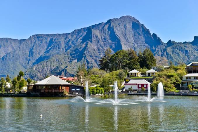
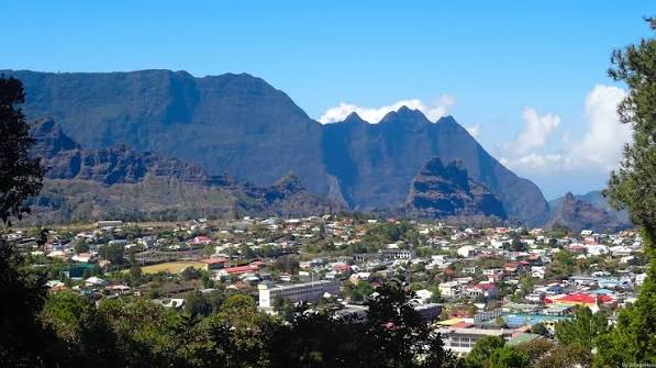
Views over Cilaos and the ocean towards Saint-Pierre/Saint-Louis
Stage 5
Plaine des Cafres and Le Tampon
Stage 6
Memorial sites of marronage
Trailhead
Sources (2)
- https://www.reunion.fr/offres/dimitile-par-grande-jument-entre-deux-fr-3470244/
- ONF — arrêté n°2026-1657 du 22 septembre 2026