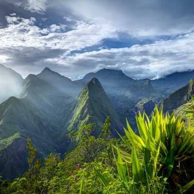
Mafate · Salazie
Marla
The highest and most isolated of Mafate's îlets
ModerateTo be checked against order no. 2026-1657 of 22 September 2026.
Duration
Depends on route
Distance
—
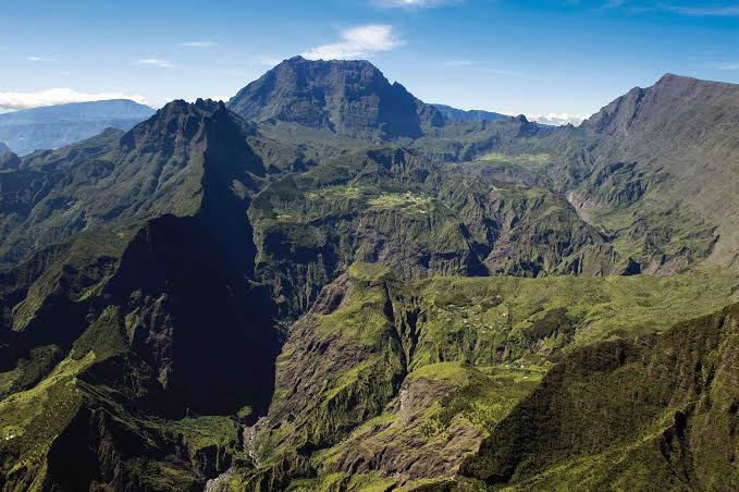
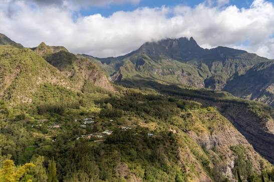
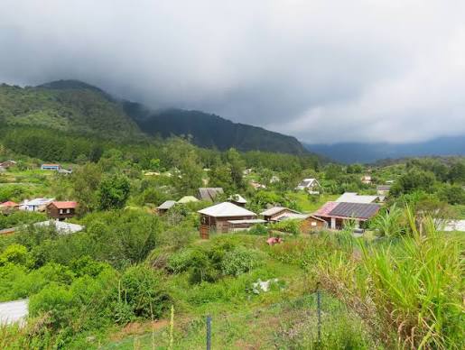
The highest and most remote of Mafate's îlets (hamlets), a crossroads of trails towards Cilaos (Col du Taïbit), La Nouvelle and Roche Plate.
The route
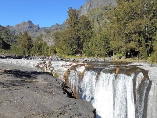
A crossing from the Col des Bœufs to the îlet of Marla in the Cirque de Mafate, via the Plaine des Tamarins and the descent to the Rivière des Galets. 6.7 km one way, 363 m of elevation gain and 570 m of descent. Starting altitude 1,837 m, finishing altitude 1,630 m. The ford across the Rivière des Galets is the most committing passage on the route.
Step by step
- D
Start · No road access
Stage 1
Col des Bœufs (alt. 1,837 m)
Stage 2
Plaine des Tamarins
Stage 3
Rivière des Galets
Stage 4
Îlet de Marla (alt. ~1,630 m)
Trailhead
Loading map…
Sources (2)
- https://www.reunion.fr/offres/col-des-boeufs-marla-salazie-fr-575446/
- ONF — arrêté n°2026-1657 du 22 septembre 2026