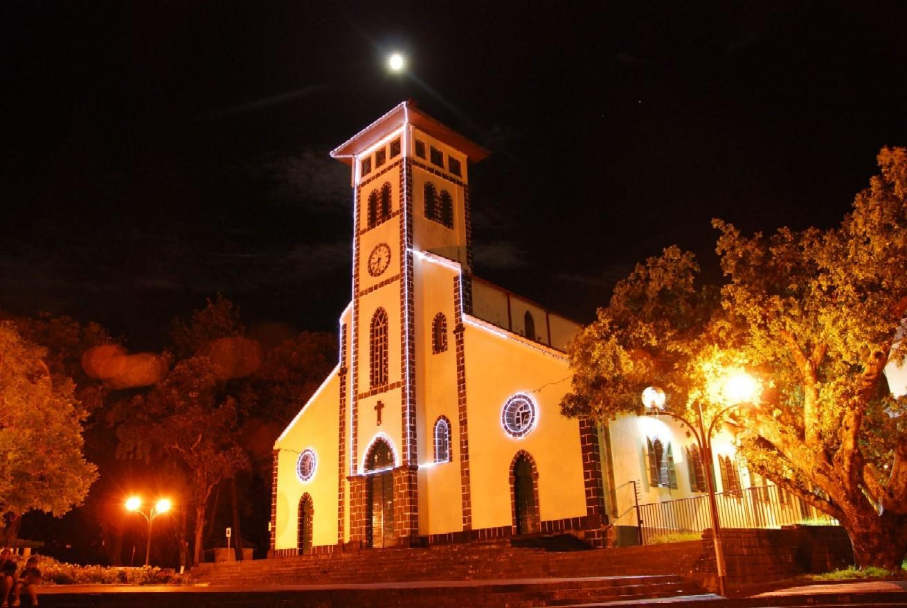
Town on Réunion Island
Le Tampon
A large municipality in the southern Hauts (uplands), linking the built-up areas of Le Tampon with the pastures of the Plaine des Cafres and the road to the volcano.
Where the name comes from
The name is thought to come from the Malagasy word “tampony”, meaning a summit from which you can see far — drive up the road from Saint-Pierre towards the Plaine des Cafres and you will quickly understand why. The fourth most populous municipality in Réunion, it is known for its cool upland climate and its many farming hamlets.
History
Le Tampon officially came into being in 1965 when part of Saint-Pierre's territory became an independent municipality. However, the development of its uplands dates back to the 18th century, when settlers climbed the first steep slopes in search of cool land suited to livestock and temperate crops.
The uplands of Le Tampon were an area of intense marronage (slave escape) during the slavery era: the deep ravines and dense forests offered refuge to runaway slaves from the coastal plantations. The Plaine des Cafres, a high plain between 1,200 and 1,600 m, offers an almost temperate-looking cattle-farming landscape, in stark contrast to the tropical coast.
The Cité du Volcan, an internationally renowned science museum opened in 1992 and renovated in 2013, traces the island's volcanic history from the Plaine des Cafres. The island's third most populous municipality, Le Tampon is growing fast and is part of the Réunion UNESCO Global Geopark, designated in 2023.
Landscapes
Le Tampon offers remarkable upland scenery: the Plaine des Cafres with its open horizons and pastoral feel, the ramparts (cliff walls) of the Piton de la Fournaise, forests of Japanese cedar (cryptomeria) and tamarins des Hauts, and the deep ravines of the Rivière des Remparts and the Rivière Langevin.
Local culture
Le Tampon has developed a distinctive upland culture, marked by a special relationship with the volcanic landscape and mountain farming. The 13e km market, on the main road climbing to the Plaine des Cafres, is one of the island's most popular farmers' markets, with its fresh vegetables and upland charcuterie.
Why it matters
Plaine des Cafres, Bourg-Murat and the Route du Volcan: Le Tampon is the main gateway to the Piton de la Fournaise, offering a unique transitional landscape between the world of the Hauts and the volcanic desert.
Photo: App photo library · Internal use
Sources (1)
- https://www.insee.fr/fr/statistiques/1405599?geo=COM-97422