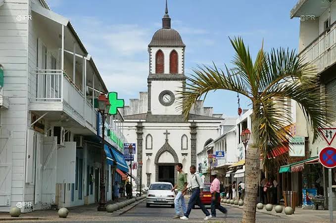
Town on Réunion Island
Saint-Louis
A municipality in the south-west stretching from the coast to the Hauts (uplands), including La Rivière and Les Makes, and historically shaped by farming and the sugar economy.
History
Saint-Louis was founded at the mouth of the Rivière Saint-Étienne, whose waters irrigate the municipality's flat land. The name comes from a chapel dedicated to Saint Louis built by the first settlers at the end of the 17th century. The municipality grew up around sugar cane, and the lowlands were intensively planted with cane from the 18th century onwards.
After the abolition of slavery in 1848, a large community of Tamil and Malagasy indentured labourers (engagés) settled in the municipality, bringing their temples, culinary traditions and devotional practices. The 1811 rebellion, linked to the slave uprising in the Saint-Leu and Saint-Louis area, is one of the major episodes of resistance to slavery in the south-west of the island.
The Gol sugar mill, located in Saint-Louis, is one of the last two sugar factories still operating in Réunion. The beach at Manapany-les-Bains, with its famous natural pool formed by lava rocks, is one of the tourist attractions of the island's south-western coast.
Landscapes
Between the leeward coast of the south-west and the mountain foothills inland, Saint-Louis has a landscape dominated by sugar-cane plains irrigated by the Rivière Saint-Étienne. The coastline is rocky, with a few sheltered beaches. The hinterland climbs towards wooded uplands forming the transition with Cilaos and L'Entre-Deux.
Local culture
Saint-Louis is a municipality with a strong Creole identity, marked by the coexistence of communities of diverse origins. The Cavadee, a Tamil procession in honour of Murugan, is celebrated here with great pomp. Upland vegetable growing and small-batch rum production round out the traditional local economy.
Why it matters
Les Makes, the Fenêtre des Makes and the Père Lafosse cemetery: a municipality where the forested Hauts overlook the Cirque de Cilaos, combining nature and memory.
Photo: App photo library · Internal use
Sources (1)
- https://www.insee.fr/fr/statistiques/1405599?geo=DEP-974+COM-97414