Town on Réunion Island
Les Trois-Bassins
A municipality in the west linking coast and Hauts (uplands), less populated than its neighbours Saint-Paul and Saint-Leu.
Where the name comes from
Separated from Saint-Leu on 27 February 1897, the municipality is said to owe its name to a positioning error on an old map by the geographer Flacourt, which in fact referred to the three basins of the Ravine Saint-Gilles.
History
Les Trois-Bassins is one of Réunion's smallest municipalities by area, nestled on the north-west coast between Saint-Paul and Saint-Leu. Its name refers to three natural basins — pools or catchments — that once characterised the municipality's terrain. Little developed for farming because of its steep slopes, it was once a community of fishermen and craftspeople living off coastal resources.
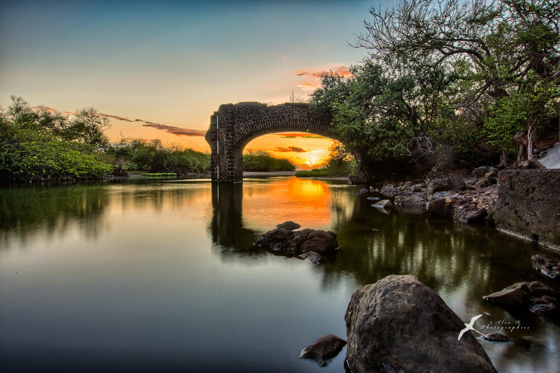
The municipality has coastal scenery of great beauty: basalt cliffs plunging into the sea, black pebble coves and coastal vegetation. The climb towards the uplands reveals a rapid transition from dry coast to humid upland forest, packing a wide variety of ecosystems into just a few kilometres. The coastal path running from Les Trois-Bassins towards Saint-Leu is popular with walkers.
A residential municipality on the north-west coast, Les Trois-Bassins benefits from the proximity of Saint-Gilles-les-Bains and Saint-Leu for seaside leisure. It has remained apart from the major industrial and port developments of the north-west, preserving a peaceful way of life and a coastline that is still wild in places.
Landscapes
Les Trois-Bassins is a municipality of cliffs and steep slopes between the sea and the uplands. The coast is spectacular, with black basalt cliffs dropping straight into the ocean. Inland, the land climbs quickly through dry forest and then humid forest. The municipality's small area packs in a remarkable variety of landscapes.
Local culture
Les Trois-Bassins is a municipality with a maritime and craft tradition, with fishermen who keep up the age-old practices of the north-west coast. Community life revolves around neighbourhood festivals and water sports. The municipality is gradually showcasing its coastal natural heritage to develop gentle, environmentally friendly local tourism.
Why it matters
An area that illustrates the continuous sweep of landscape from the west coast to the farming uplands, with districts tiered by altitude.
Photo: App photo library · Internal use
Sources (1)
- https://www.insee.fr/fr/statistiques/1405599?geo=COM-97423